SargoTech
Coastal technology from the Dominican Republic to get ahead of sargassum in the Caribbean. It connects ocean observation with the people who can act: hotels, municipalities and field teams. We are four co-founders, and I am the CTO and lead developer.
- Role
- CTO and Lead Developer
- Team
- 4 co-founders
- Year
- 2026
- Map
- MapLibre GL
01
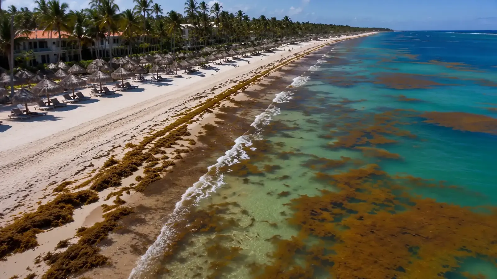
When you see it on the sand, it already arrived
The response to sargassum has to start earlier, out at sea, with enough notice to contain it, collect it and dispose of it properly.
The public site has one interactive piece at its center: a map of Dominican beaches where each beach gets a traffic light. This is that same component, running here.
The same map as the public site, over a simplified basemap. The colors here are sample data that show how the traffic light works; on sargotech.com each beach takes its color from the amount of sargassum.
02
How a beach turns red
Each beach looks at how strong the floating sargassum signal is and how close it is. The rules are short on purpose, so anyone on the team can explain why a beach changed color.
Traffic light
What each color means
- RedA strong sargassum signal very close to the beach. Impact is likely.
- YellowSargassum is approaching: a strong signal farther out, or several faint ones nearby.
- GreenNo sargassum alert close to this beach.
Red: a strong signal right off the beach. Impact is likely.
03
From forecast to final destination
SargoTech frames the work as four steps. Observing and forecasting is only the first one; the platform is meant to connect all of them.
Response
Four steps, one map
Move it to an identified destination, with reuse when viable or responsible final disposal.
The four steps as SargoTech defines them.
One map, three jobs
Hotels and resorts
Know ahead of time what is coming to the beachfront and plan the response.
Municipalities
Decide which beaches need attention first and coordinate resources.
Field teams
Validate conditions in the field and carry out the service.
One color per beach, simple enough that anyone on the team can explain it.
04
A team of four
Enmanuel Santos is CEO and product lead, Christopher Marrero is a software engineer, Martha Espinal leads operations and partnerships, and I am the CTO and lead developer.
On the team page my part reads: grounding processes, data validation and coordination to turn alerts into measurable actions. The product is still evolving, so I keep this page to what is public.
Decisions so far
- 01
A reference mode instead of an empty map
If the live reading is late or missing, the map still shows every beach and says so on screen.
- 02
Rules you can explain
Each color comes from how close and how strong the signal is, which is easy to explain and to check in the field.